Summary
 The International Rainy – Lake of the Woods Watershed Board, through its Water Levels Committee, has a mandate to manage water levels and flows in Namakan and Rainy Lakes, which it does using rule curves. In 2015, the International Joint Commission undertook a study to review the operation and impacts of the then current rule curves, in place since 2000. In addition to a 2018 Supplementary Order that describes new rule curves, another of the outcomes of the 2015 study was a recommendation to use an adaptive management approach to monitor and understand how the changes to the rule curves affect Namakan Reservoir, Rainy Lake, and Rainy River and to support an objective review of the rule curves in the future.
In 2020, the IJC established an Adaptive Management Committee to consider information that is collected by resource agencies and others that may indicate the effect that changes to the 2018 Rule Curves have on water levels and flows and other interests in the boundary waters of the Rainy River basin. One of the AMC’s main jobs is to assess how the system may be changing over time and whether any modifications to the rule curves may be warranted.
 To do this, we use several watershed models to experimentally test the outcomes of different operating decisions on a variety of variables of interest. Those models start with a layer of bathymetry data - physical data about the water body including its depth and the profile of the streambed - and then add additional layers to account for variables like wind and wave activity, or ecological considerations such as fish spawning areas, vegetation types and locations, and so on.
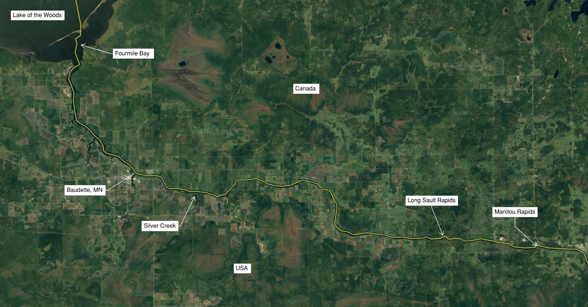
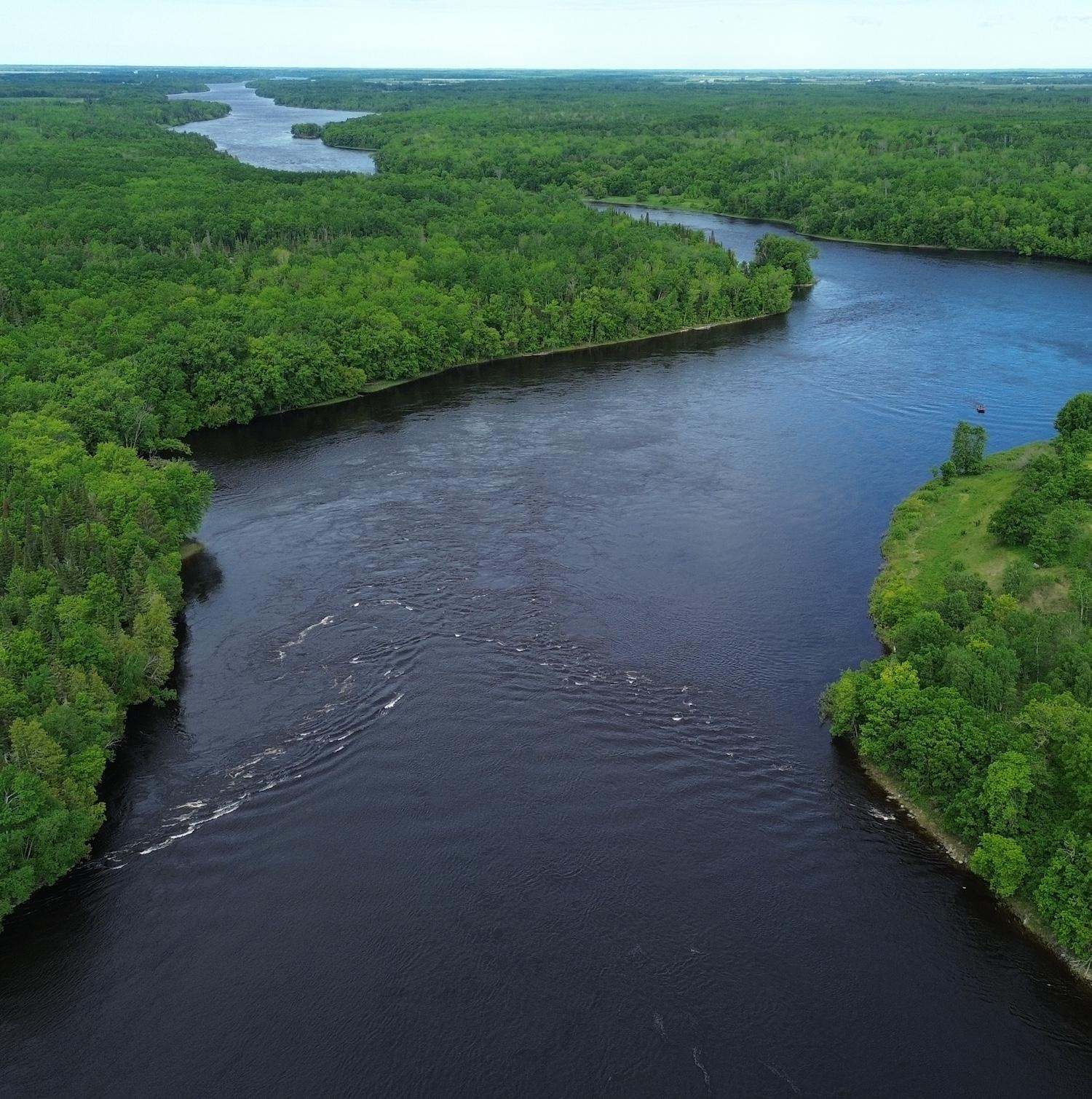
For the 2015 rule curve study, when the habitat models were built, we only had the foundational physical data for Namakan Reservoir, Rainy Lake, and the upper portion of Rainy River as far downstream as Manitou Rapids. This meant that in the models, the downstream portion of Rainy River, from Manitou Rapids to Lake of the Woods, relied on interpolated, theoretical data.
This year, the International Joint Commission provided funding to enable technicians to go out in the field and collect the missing bathymetry information for the lower Rainy River. Zac, Jordan and their colleagues were conscripted to go into the field in July and in the webinar, they will tell us about that work, which had many challenges but delivered amazing results. We will then hear from Marianne and Olivier, two members of the modelling team, about how they will be putting the info to work in the new models, helping us to assess the effects of water level management on aquatic vegetation, benthos, Northern Pike, Walleye, and other indicators.
Please register now, and note that the session will be recorded for rebroadcast to the LOWWSF website.
About the Presenters:
 Olivier Champoux - With a Master’s degree in fluvial geomorphology from the University of Montreal, Olivier has dedicated his career to river and lake modeling at Environment and Climate Change Canada (ECCC) since 2000. Olivier’s expertise has led to contributions to several major projects with the International Joint Commission (IJC), notably on Saint-Lawrence river, Lake Ontario, Lake Champlain, the Richelieu River, the St. Marys River rapids, as well as the Rainy and Namakan Lakes and the Rainy River. Olivier now focuses on coordinating modeling efforts to enable the next generation of modelers and scientists to participate in various projects, aiming to find new solutions to today’s challenges.
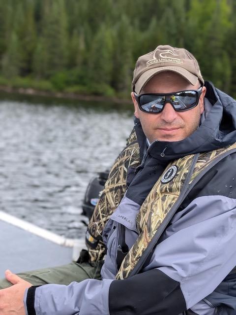
 Zac Morris - Zac is a Professional Engineer and the Coastal Department Manager for AMI Consulting Engineers, a firm based in Superior, WI. Zac has extensive experience designing waterfront structures and stabilizing shorelines. He has a deep understanding of coastal designs given his hands-on construction experience and design expertise. He frequently performs and oversees scientific studies such as wave and sediment transportation analyses, seafloor mapping, and underwater inspections. In the current project, Zac was the project manager, involved in equipment selection, project design and execution, connecting project partners including the IJC, and providing quality assurance and quality control on the final report. In his spare time, Zac enjoys hiking in the mountains and exploring the Boundary Waters with his wife and four kiddos.
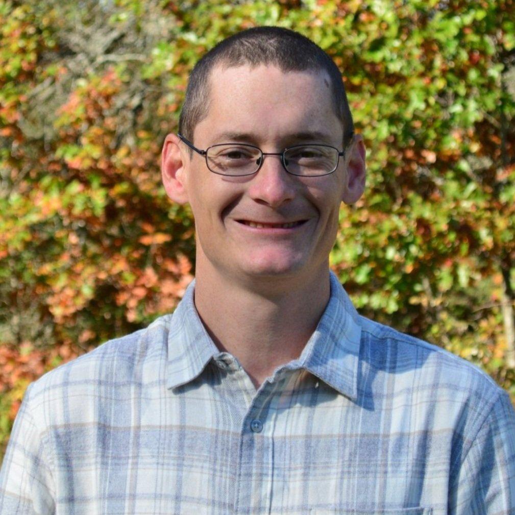
 Jordan Vargas - Jordan is an Environmental Specialist with AMI Consulting Engineers. In the current project, Jordan served as the field lead and support. He determined the best approach to surveying the various water conditions (high water, low water, vegetation, turbulent flow, etc.), conducted quality assurance and quality control on data, and prepared the final report.
 Marianne Bachand - Marianne Bachand is the Project Coordinator for the Hydrodynamic and Ecohydraulic section of the National Hydrological Services at Environment and Climate Change Canada (ECCC). She earned her Ph.D. in plant biology from Université Laval in 2013, where she studied the resilience of boreal forests to deer overpopulation. After completing her Ph.D., she transitioned to ecohydraulic modelling during her postdoctoral work at ECCC. Since then, Dr. Bachand has developed numerous habitat models, including a wetland model used to evaluate the 2000 Rule Curves of the Rainy Lake and Namakan Reservoir System. Since 2016, she has expanded her efforts to create habitat and wetland models for various transboundary water bodies, including the Lake Champlain-Richelieu River Basin, St. Marys River, St. Lawrence River, and Lake Ontario. These models are instrumental in managing water levels, assessing the impacts of climate change, and evaluating flood mitigation strategies. In 2023, she returned to the Rainy region to enhance the models developed during the Rule Curves Study.