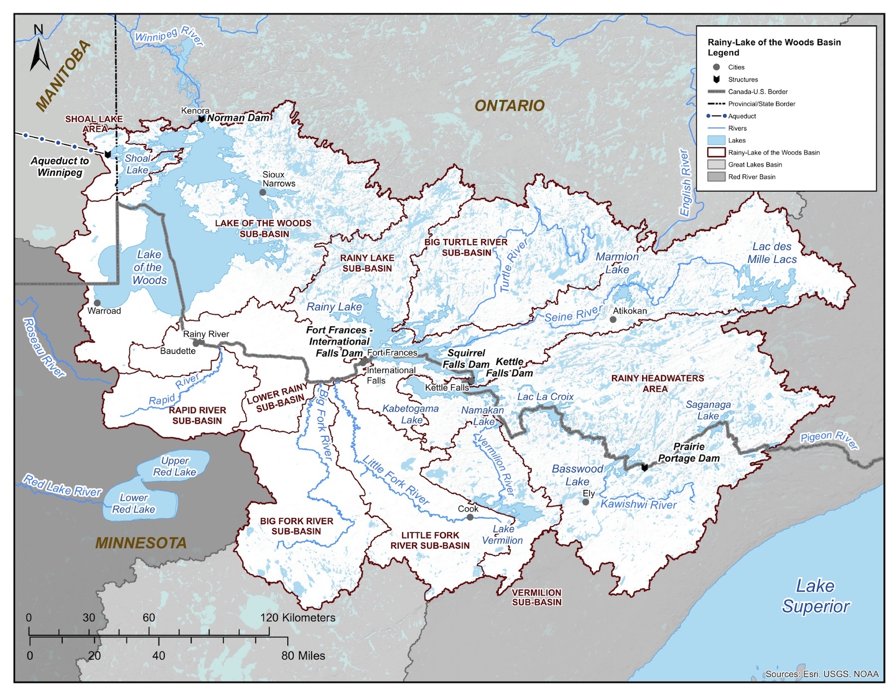
 The Rainy – Lake of the Woods watershed forms the international boundary between Minnesota, Ontario and Manitoba. The region is ecologically, geologically, and politically complex. Here, 600 km of waterways flow west from the Great Lakes Basin divide, through the chain of lakes to Namakan Lake, then Rainy Lake, through the Rainy River, and into Lake of the Woods where, at Kenora, it enters into the Lake Winnipeg basin, flowing north along the Winnipeg River. The Lake Winnipeg basin ultimately flows into Hudson Bay.
About 60% of the watershed is in Ontario, within the territory of the Anishinaabe Nation in Treaty #3 and homeland of the Northwestern Ontario Métis community; a small portion of the Canadian side is also in Manitoba. The remaining 40% is in Minnesota, inclusive of the Territories of 1854 Treaty Authority and Red Lake Band areas.
Governance and regulation of water is shared among several entities across the watershed, including Indigenous governments, the State of Minnesota, the Provinces of Ontario and Manitoba, and the federal governments of the United States and Canada. The International Joint Commission works with these partners through the International Rainy Lake of the Woods Watershed Board.